Links
GEODETIC AND GPS RESOURCES
- DFO – Canadian Hydrographic Service – Tides and Water Level BMs
- GeoBC – Base Map Online Store
- MASCOT – Survey Utilities
- NRCan – Earth Sciences Sector – Canadian Spatial Reference System (CSRS)
- NRCan – Geological Survey of Canada – Magnetic declination calculator
- US National Geodetic Survey (NGS) – CORS, OPUS, etc.
GOVERNMENT GIS WEBSITES
- BC Land Title & Survey – OnLine Cadastre
- BC GNIS – BC Geographical Names Information System
- NRCan GNSS – Canadian Geographical Name Search Service
- NRCan Canada Lands Survey System – Surveyor General Branch Tools and Applications
- BC OnLine – BC E-Government Services
- City of Abbotsford – Webmap
- City of Burnaby – Burnaby Map
- City of Coquitlam – Q the Map
- Corporation of Delta – DeltaMap
- City of Kamloops – Online Property Information
- City of Kamloops – Open Data Downloads
- Township of Langley – Geo Source
- City of North Vancouver – GIS WebMap
- District of North Vancouver – GeoWeb
- City of Port Coquitlam – PoCo Map
- City of Richmond – GIS Inquiry
- Sunshine Coast Regional District – SCRD Maps
- City of Surrey – CoSMOS
- UBC – GIS Resource
- City of Vancouver – VanMap
- District of West Vancouver – WestMap
- Resort Municipality of Whistler – GIS/Map
- City of Whitehorse – GIS
- Yukon Geological Survey – Geo Yukon
GEOMATICS AND ENGINEERING RESOURCES
- Engineering Central – Engineering resources
- Eng Tips: Surveying & Geomatics – Surveyor’s forum
- Free Geography Tools – GIS blog
- GIS User – GIS resources
- Land Surveyor Reference Page (LSRP) – Surveyor’s resources
- Surveyor Connect – Surveyor’s forum (very active)


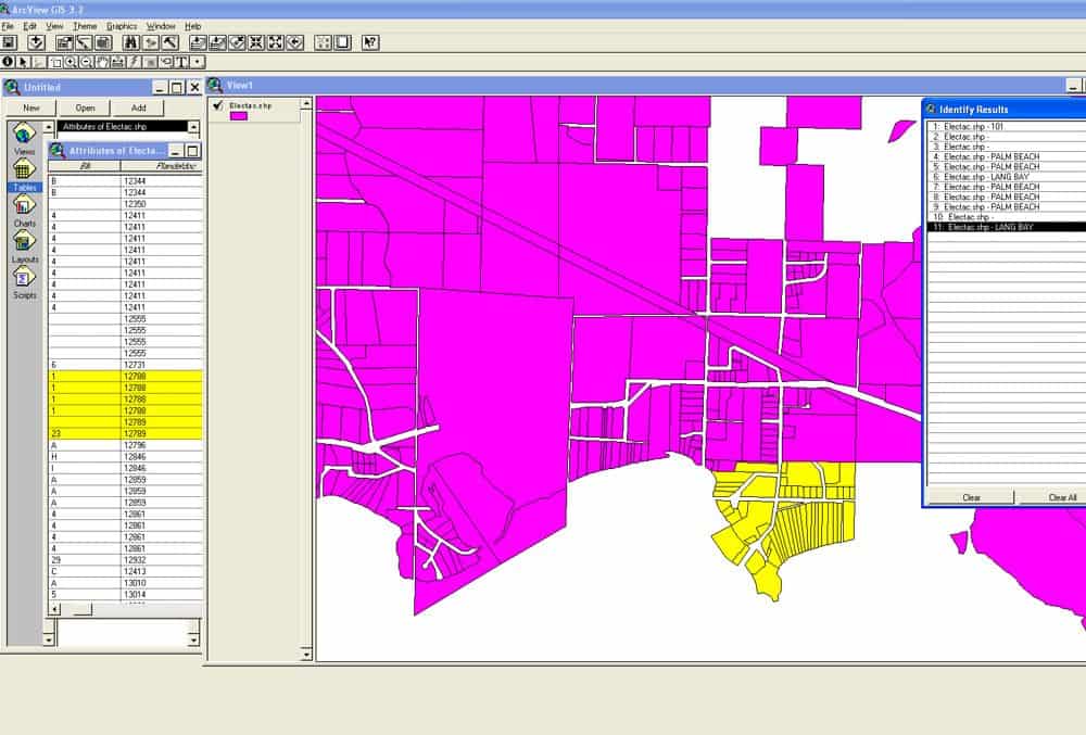
City of Coquitlam – Land and Utility GIS Data Conversion and Custom Software
Historical Projects, Infrastructureview


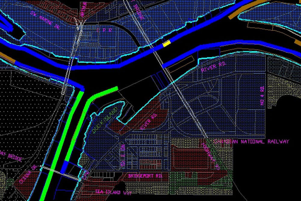
North Fraser Mapping and Harbour Headline Control, Metro Vancouver
Historical Projects, Infrastructureview


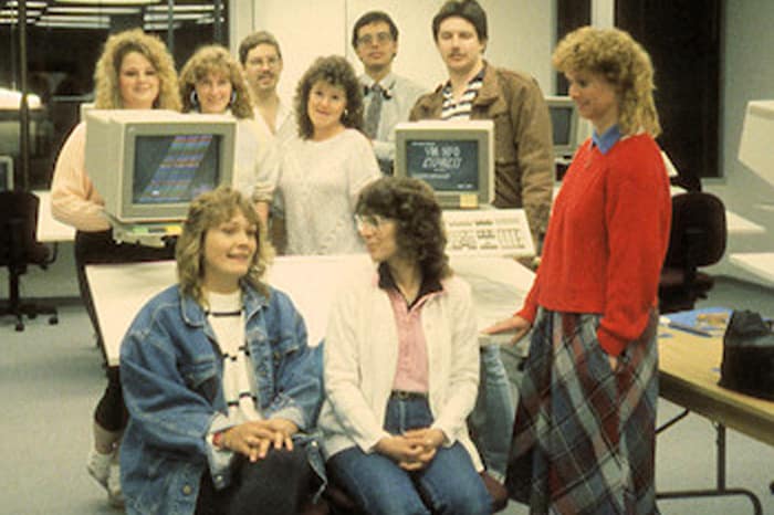
Field Data Services, Inc – Customized Software for Field Inventory
Historical Projects, Infrastructureview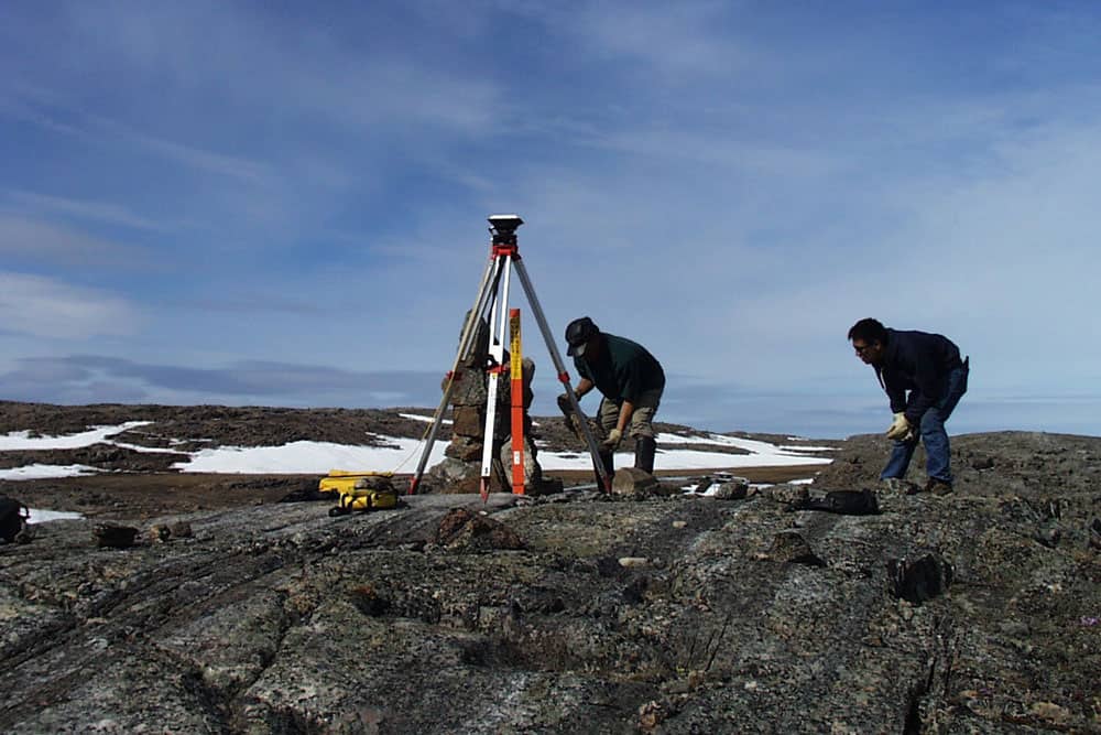
Florida Power & Light – Electrical Facilities Conversion, Miami (Dade County)
Historical Projects, Infrastructureview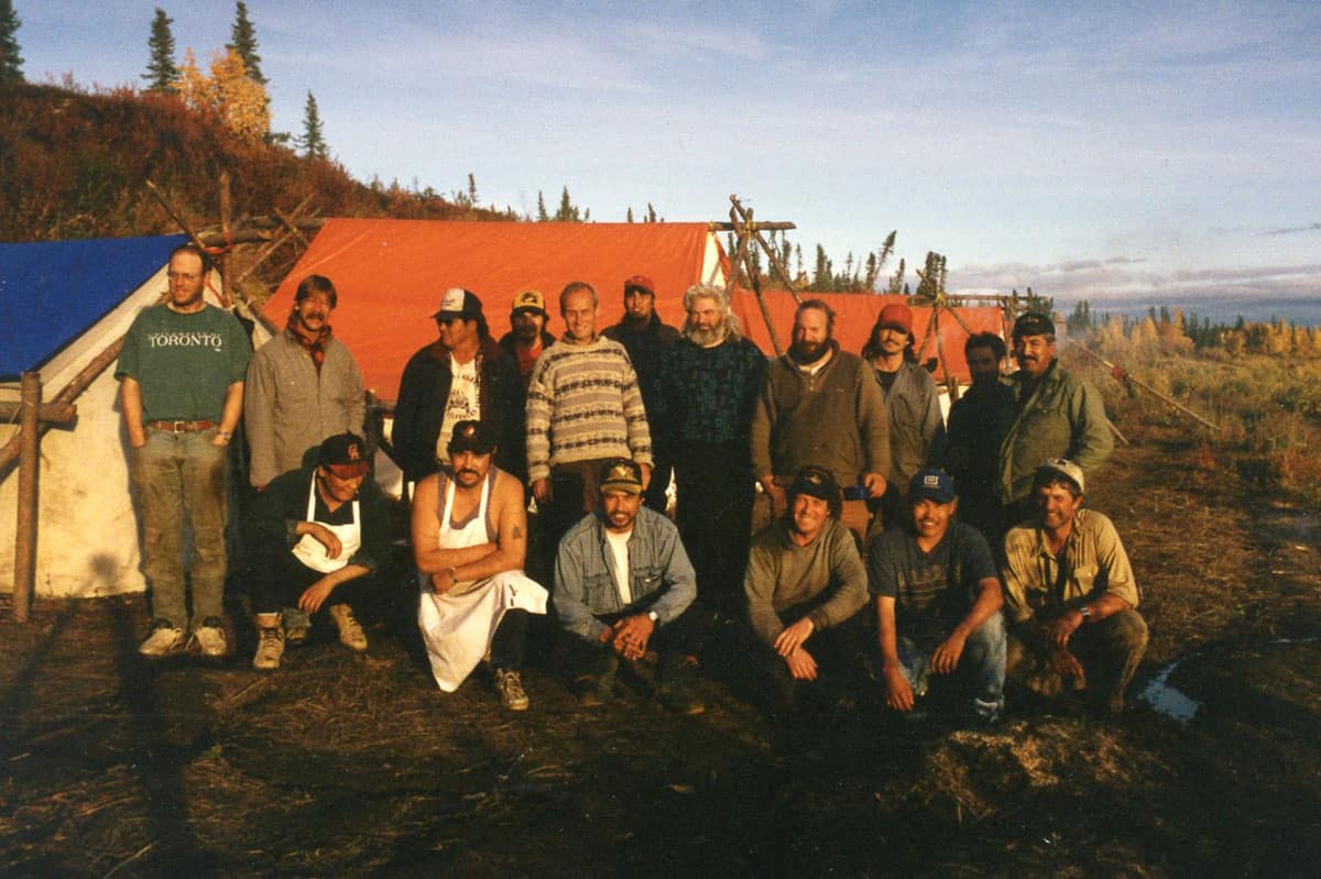
Council of Yukon First Nations (CYFN) Umbrella Final Agreement
First Nations, Historical Projectsview