
Timeline

1907-1919

Underhill Brothers graduate and start articling
Clare graduates as a Civil Engineer in 1911.[8] J.T. graduates from McGill University College, Vancouver as a Civil Engineer.[4] McGill University College was the predecessor to UBC, which wasn’t established until 1915. Following University, the brothers enter their articles to become Land Surveyors in BC.
Clare articles to E.H. Cleveland, PLS, of the firm Cleveland & Cameron, established in 1910. Mr. Cleveland went on to be the first Chief Engineer of the Greater Vancouver Water District from 1926 to 1952. The Cleveland Dam on the Capilano River, in North Vancouver, was named after him.[5][6]
J.T. articled first under G.H. Dawson, PLS, and then M.W. Hewitt, BCLS, when Mr. Dawson was appointed Surveyor General.[7] Dawson and Hewitt were both from the firm Elliott & Hewitt, which at that time was located at the Williams Building, 413 Granville St., Vancouver. That firm was founded in 1886 as Williams Bros. & George Dawson and continues to operate today as Chapman Land Surveying Ltd. in West Vancouver.[7]

Clare Underhill finishes University
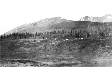
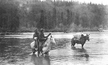
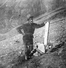
At the time of final exams, Clare travels up to the Stikine River country. To get to Victoria, he hikes out 50 miles alone along the Dominion Telegraph Trail. He frequently detours to avoid the grizzly bears fighting over the remains of pack horses that have died in the harsh winter conditions.[8]
(pictured – Clare Underhill, 1913 in Ground Hog or McEvoy Flats)
Underhill & Underhill Formed
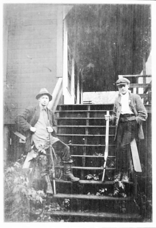
Underhill &Underhill was founded in the late fall of 1913 by Frederic Clare Underhill (Clare) and James Theodore Underhill (J.T.) – Pictured above.[1] [2]
The brothers obtain their commissions as British Columbia Land Surveyors on 22nd October 1913. Later that fall, they form a business partnership. They name the partnership Underhill & Underhill. The tiny office is located in the Lumberman’s Building, 811 – 509 Richards St., Vancouver. Their father, Dr. Frederick Underhill, advances them money from time to time to help them along in their fledgling venture. Dr. Underhill was the City of Vancouver’s first full time medical health officer. Starting in 1904, he served the City for some 26 years. He organized the first regular garbage collection in Vancouver, pushed for improvements in the Lower Mainland’s water supply, and instituted better inspection of foodstuffs. He was recognized for his role in the Spanish Flu Pandemic of 1918. In 1938, the City of Burnaby named Underhill Avenue in his honour.[3]

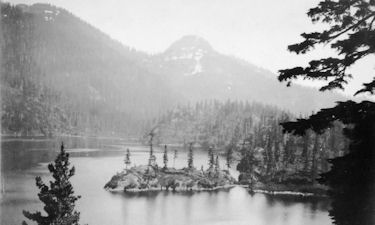
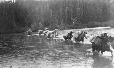
Underhill in the field
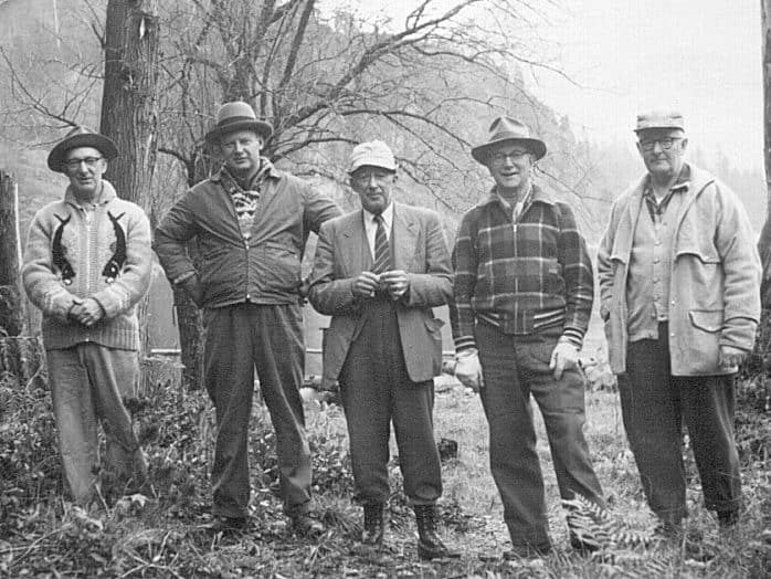
From left: Fred Mansell, C.W. Spence, W. Losee with Cariboo, 1913.

More 1913
While Clare works up in the mountains north of Vancouver on the Britannia Mines mineral claim surveys, WWI breaks out in Europe. Canada is at war.
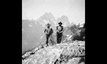
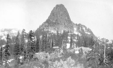
See full descriptions of the images shown here.
C.W. Spence
Probably on the Ground Hog M.T.’s, 1913.
The Great War
Clare, J.T. and three of their brothers—Capt. Reginald R. Underhill, Lt. Charles B. Underhill, and William (Bill) L.L. Underhill—all served in WWI (1914–1918). Brothers Reginald and Charles were killed at the Battle of the Somme in France.[3]